June 26, 2024
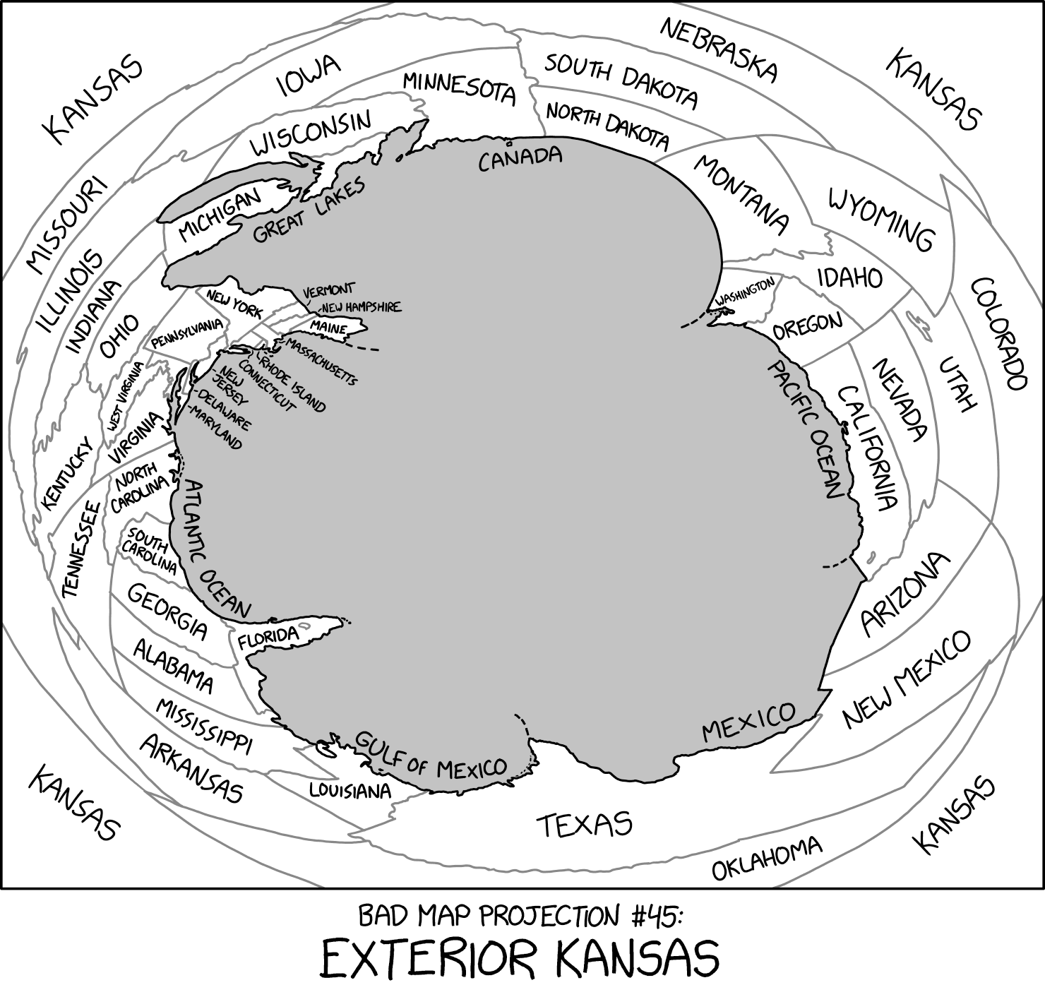
#2951: Bad Map Projection: Exterior Kansas explain

{{incomplete transcript|Map description could be improved? Do NOT delete this tag too soon.}}
[A distorted map of the contiguous United States with the states labeled, where the Atlantic and Pacific coasts and the Canadian and Mexican borders are located closest to the center, with there being a gray void in the middle of the map, while the central U.S. states are distributed in the edges of the panel, with Kansas being in all of the four corners of the map.]
[Caption below the panel:]
Bad Map Projection #45:
Exterior Kansas