July 17, 2023
#2803: Geohydrotypography explain

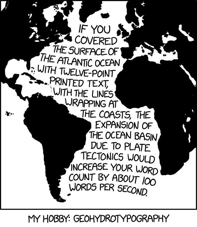
[A depiction primarily of the Atlantic Ocean and the surrounding landmasses. The land is black, leaving the oceans and seas white except for the following words written in sixteen lines of text (from just below the tip of Greenland/Arctic Ocean down to slightly above the Falkland Islands/Southern Ocean) that are, for the most part, wrapped between the Atlantic coastline ‘margins’ (as defined by the Americas on the left and Europe/Africa on the right, or significant island groups:]
If you
covered
the surface of
the Atlantic Ocean
with twelve-point
printed text,
with the lines
wrapping at
the coasts, the
expansion of
the ocean basin
due to plate
tectonics would
increase your word
count by about 100
words per second.
[Caption below the panel:]
My Hobby: Geohydrotypography