March 22, 2019
#2127: Panama Canal explain

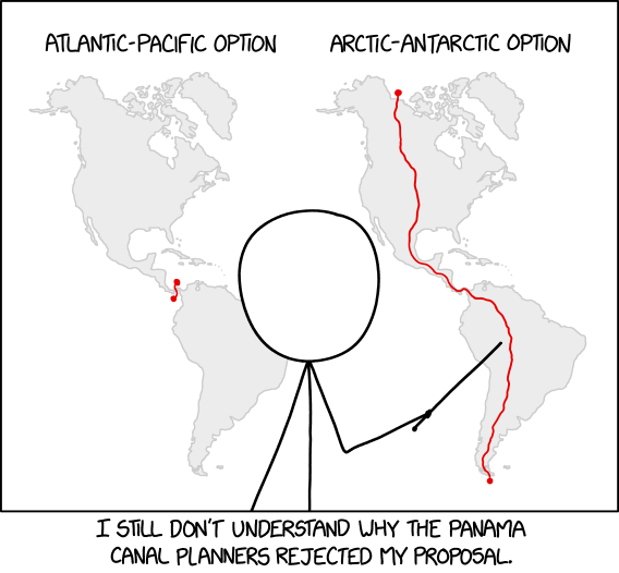
[Cueball is standing in front of a poster with two maps showing the Americas. He is pointing to the right one with a stick he is holding in his hand. Specifically to the red line going through the Americas from the Arctic sea above Canada near Alaska, down through North America, through the middle of Central America down through the middle of South America to end up in the Antarctic sea below the tip of South America. On the map to the left there is a similar red line indicating the Panama Canal crossing the thinnest part of Central America from the Pacific Oceanto the Atlantic Ocean. Both lines end in small dots on either “side” of the continent. The two maps have labels above them:]
Atlantic-Pacific option
Arctic-Antarctic option
[Caption below the panel:]
I still don’t understand why the Panama Canal planners rejected my proposal.