April 8, 2013
#1196: Subways explain

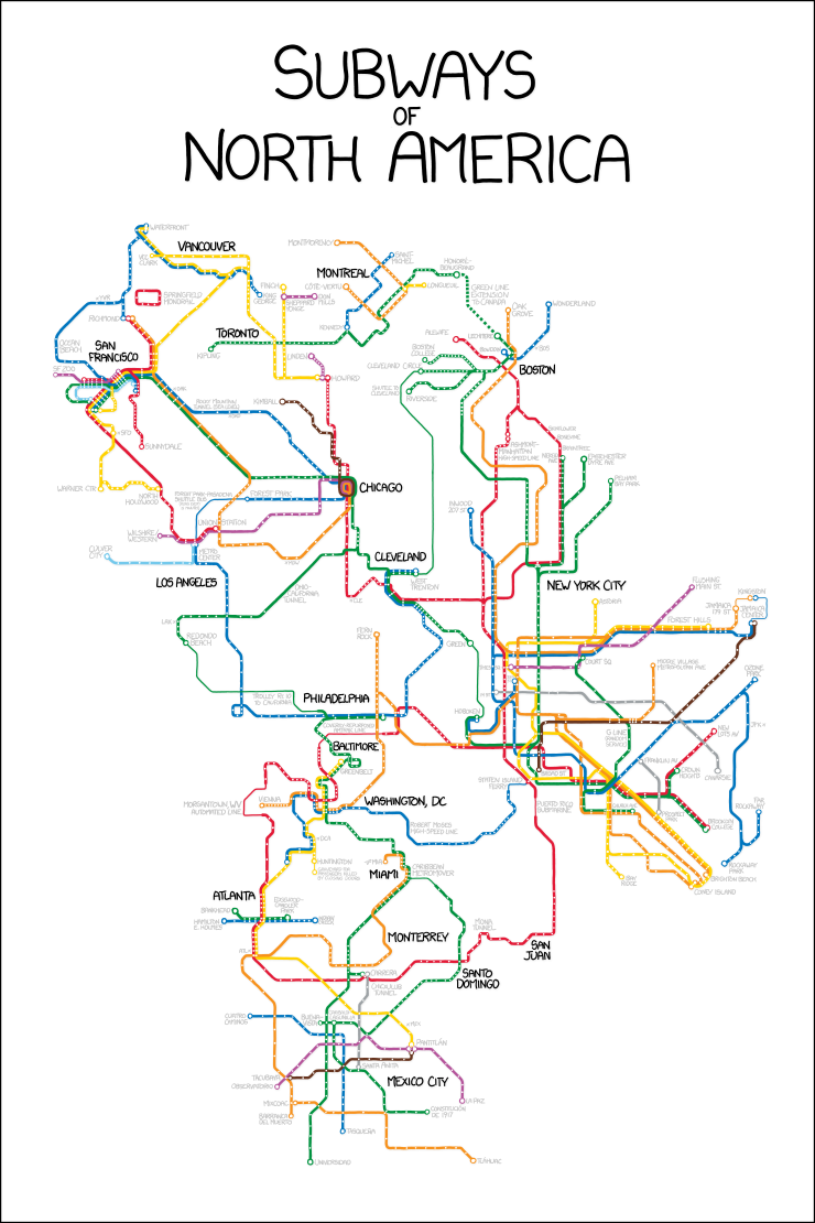
Subways of North America
[A subway-line style (bold colored, 45-degree aligned lines with white bars indicating stations) map has been constructed by combining and linking various parts of the subway maps from many different cities, as if all of the transit systems were connected directly. The cities include (from top to bottom, left to right) Vancouver, Montreal, San Francisco, Toronto, Boston, Chicago, Los Angeles, Cleveland, New York City, Philadelphia, Baltimore, Washington DC, Miami, Atlanta, Monterrey, San Juan, Santo Domingo, and Mexico City.]