August 11, 2008
#461: Google Maps explain

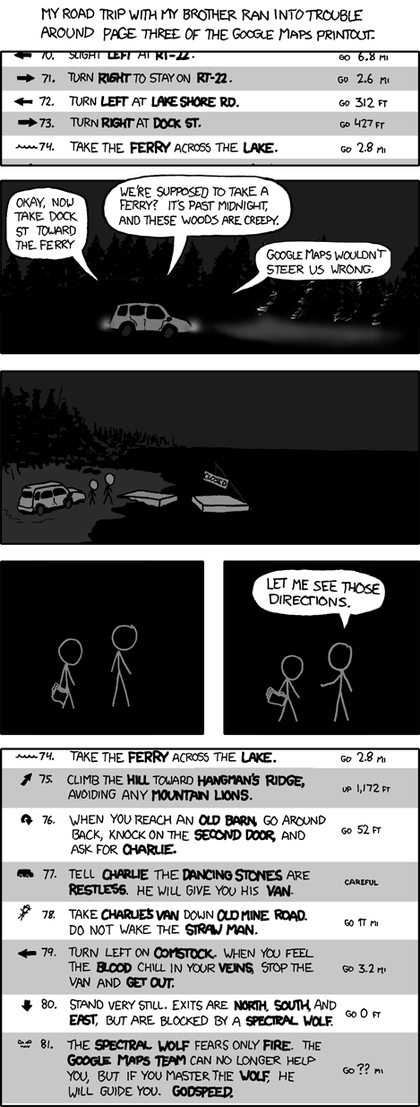
My road trip with my brother ran into trouble around page three of the Google Maps printout
[Google Maps printout.]
← 70. Slight left at RT-22 - go 6.8 mi
→ 71. Turn right to stay on RT-22 - go 2.6 mi
← 72. Turn left at Lake Shore Rd - go 312 ft
→ 73. Turn right at Dock St - go 427 ft
[An icon of water] 74. Take the ferry across the lake. - go 2.8 mi
[A car is driving in the dark.]
Brother: Okay, now take Dock St toward the ferry.
Cueball: We’re supposed to take a ferry? It’s past midnight, and these woods are creepy.
Brother: Google Maps wouldn’t steer us wrong.
[Cueball and his brother stand outside the car. The ferry has a sign on it reading CLOSED.]
[Cueball is standing next to his brother, who is holding a Google Maps printout.]
[Cueball motions towards his brother.]
Cueball: Let me see those directions.
[Google Maps printout.]
[An icon of water] 74. Take the ferry across the lake. - go 2.8 mi
↗ 75. Climb the HILL toward Hangman’s Ridge, avoiding any mountain lions. - up 1,172 ft
↷ 76. When you reach an old barn, go around back, knock on the second door, and ask for Charlie. - go 52 ft
[An icon of a van] 77. Tell Charlie the Dancing Stones are restless. He will give you his van. - Careful
[An icon of a straw man] 78. Take Charlie’s van down Old Mine Road. Do not wake the Straw Man. - go π mi
← 79. Turn left on Comstock. When you feel the blood chill in your veins, stop the van and get out. - go 3.2 mi
↓ 80. Stand very still. Exits are north, south, and east, but are blocked by a Spectral Wolf. - go 0 ft
[An icon of a menacing face] 81. The Spectral Wolf fears only fire. The Google Maps Team can no longer help you, but if you master the wolf, he will guide you. Godspeed. - go ?? mi